Introduction to Rasters Using terra
Upcoming event
R

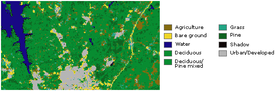
“Rasters are commonly used to represent continuous spatial data such as elevation and temperature. This workshop will give a gentle introduction to using the R package terra to manipulate and plot raster data. No prior knowledge of spatial data is needed, but basic familiarity with R is assumed. For those migrating from terra’s predecessor package raster, I will describe some of the changes to functions.”
Tuesday May 14, 3:00 PM, Remote attendance only (Zoom link TBD)
RSVP HERE please! By Monday May 13.
Pre-workshop prep: TBD (RSVP to get an email and Zoom link)